
4WD recommended - From Mojave, go north on SR 14 for 20.7 miles to the Randsburg Road on the right. Turn right. Go east on the Randsburg Road 11.1 miles to a dirt road on the left at some white drums. This is Mesquite Canyon Road (signed EP 100). Turn left (north). This junction is 1.1 miles west of the junction of the Garlock Road and the Randsburg Road. Note your odometer and go as follows: At 4.0 miles, junction. Go straight (downhill) continuing on EP 100. At 4.2 miles, a fork, go right on EP 15/26. At 5.3 miles, a parking area on the left or need high clearance to get closer to the trailhead up the hill. (35.455667, -117.839648)

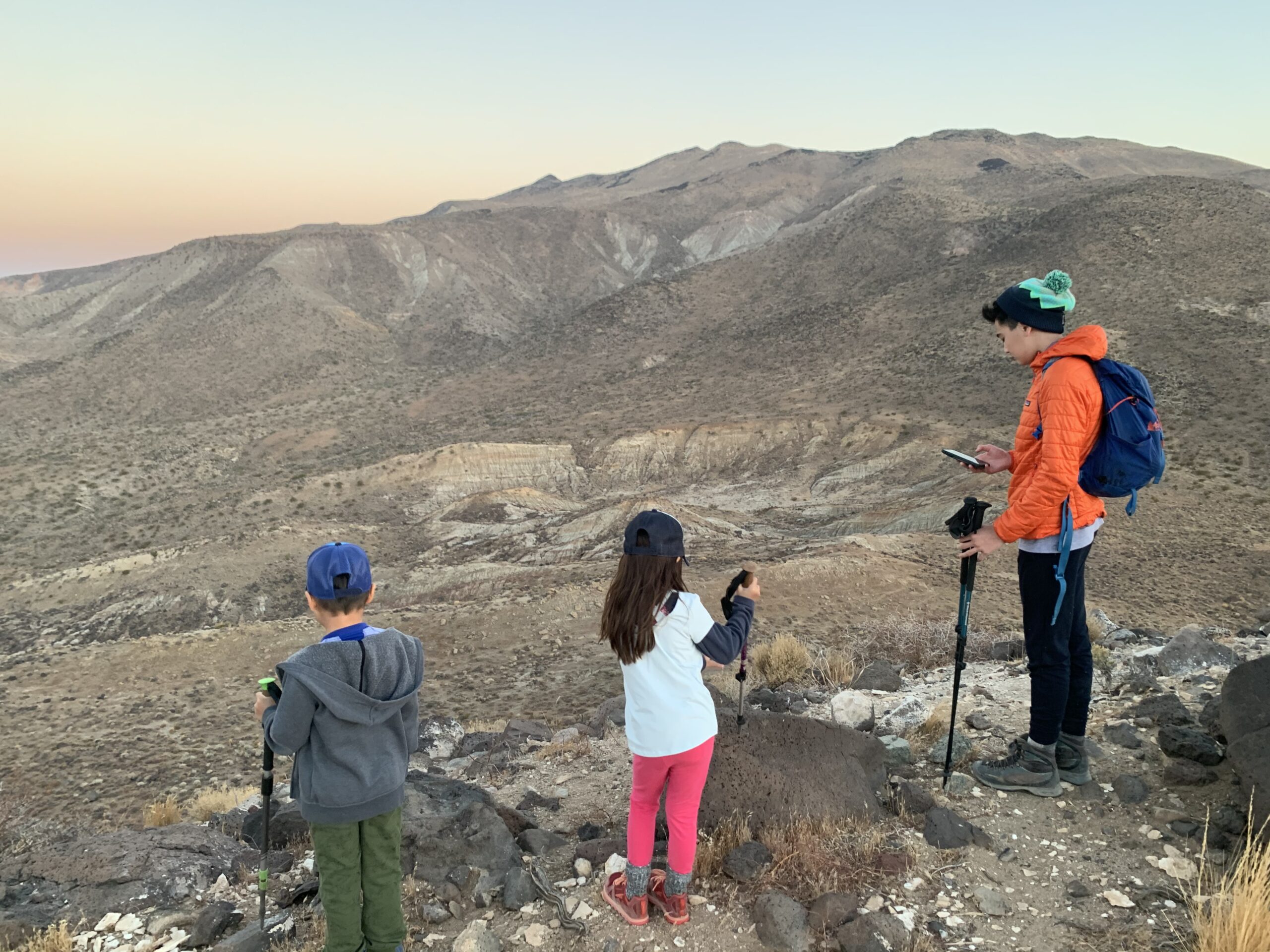
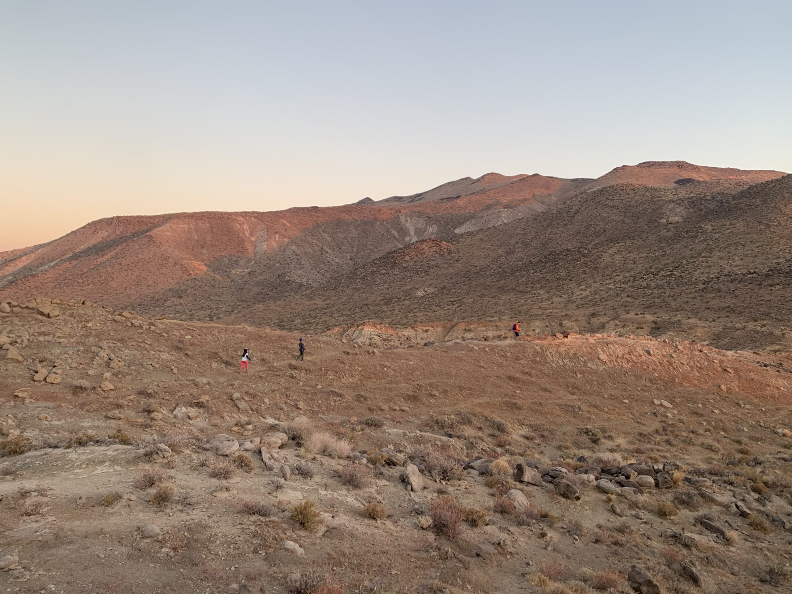
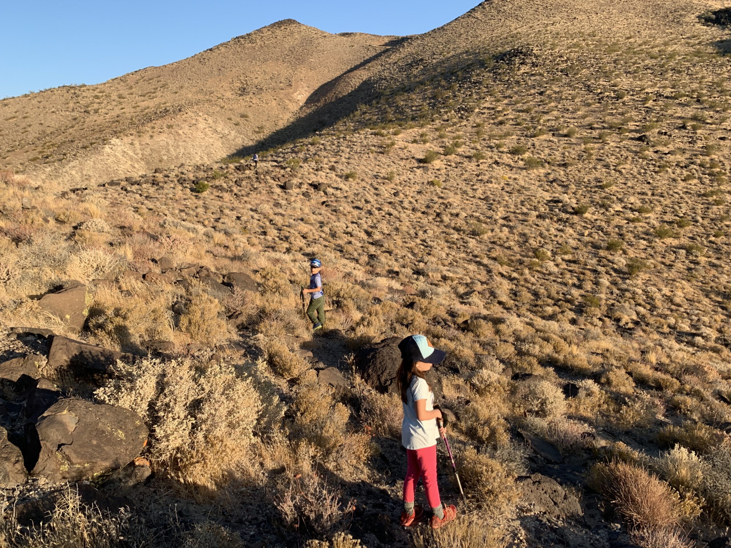
Easy hike - the drive is tougher than the hike

Fantastic desert views

4 miles round trip and 1450 ft of elevation gain

Dayhike
The Earth Beneath Your Feet is your guide to hiking, backpacking,
and mountaineering in California and beyond.