Bonita Peak

Bonita Peak

Bonita Peak is a relatively small bump located on the trail to Iron Mountain (aka Big Iron.) To get to that small bump be prepared to hike 2000 feet in a little less than 3 miles on Heaton Flat trail. The hike is nearly all uphill once you reach the trailhead and is a great cardio workout. If you leave early enough in the day (I left around 8:30a) about 50-60% of the trail will be in shade (a benefit on this hike as it was warm for January.) Another motivation for leaving early would be parking - the lot was full so I parked about 1/4 mile down the road (with my Forest Adventure Pass clearly displayed.) Most people are there to hike to The Bridge To Nowhere so I had the trail to Bonita practically to myself. For the first 1.8 miles of the hike, you travel up a shaded canyon following the well defined trail to a saddle where you go left to continue. Don't expect to see the peak until you get to the top. While you will catch glimpses of Rattlesnake Peak, West Baldy, and Iron Mountain, you don't see Bonita until you're practically on top of it. Once you do get there the views are really quite spectacular. Enjoy the views from the (very) small clearing that marks the peak (though there is no peak registry.) Big Iron looks like it is a stone's throw away but is another 6 miles or so distant (with a lot of elevation gain/loss). Rest up and enjoy the hike down.
  • Trailhead:

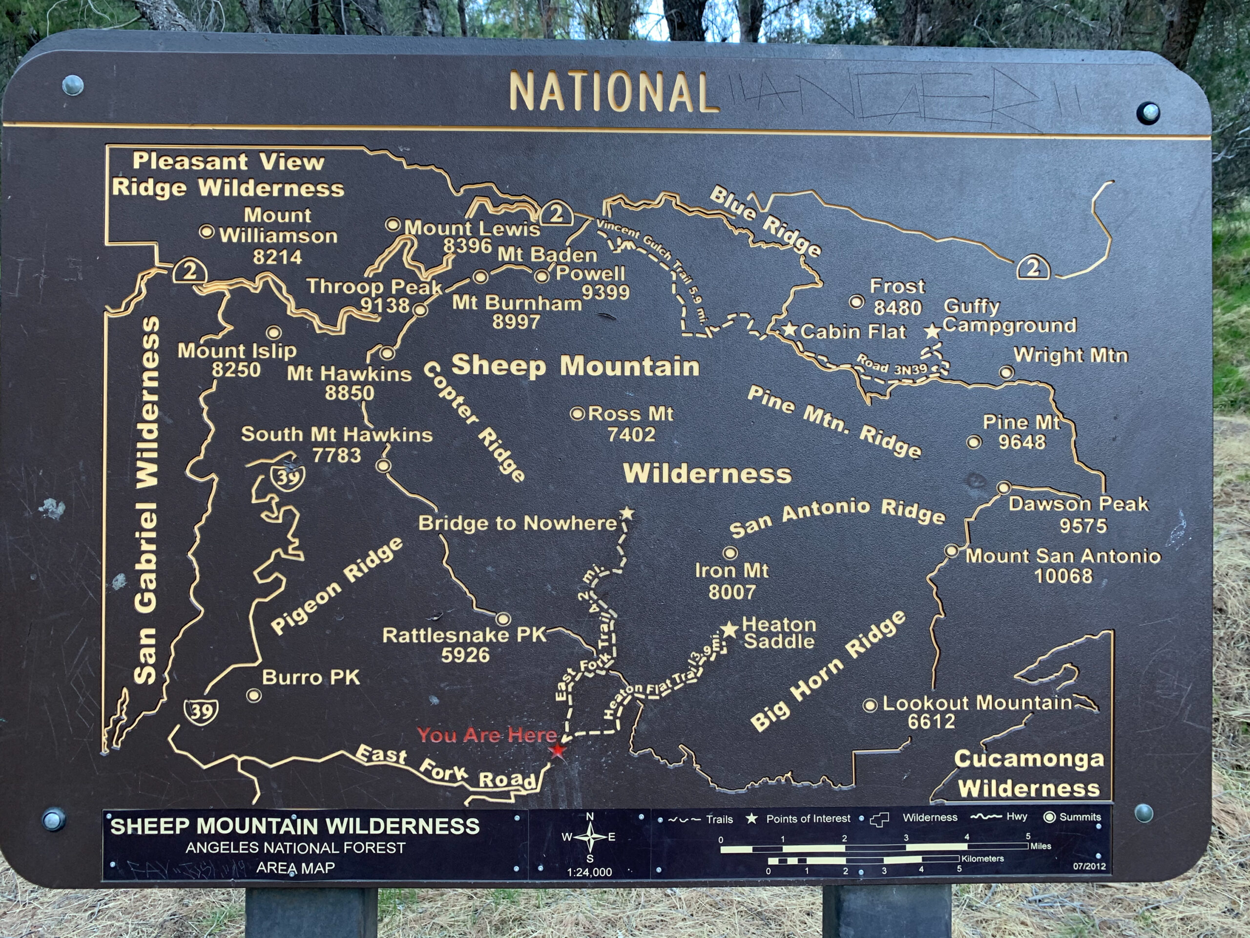
    At the end of Camp Bonita Road which is also the trailhead for The Bridge to Nowhere (34.2369993201656, -117.7649821575144)

  • Difficulty:

    Easy

  • Aesthetic Rating:

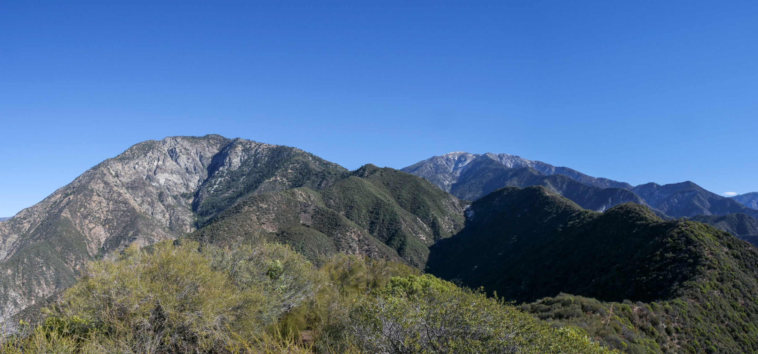
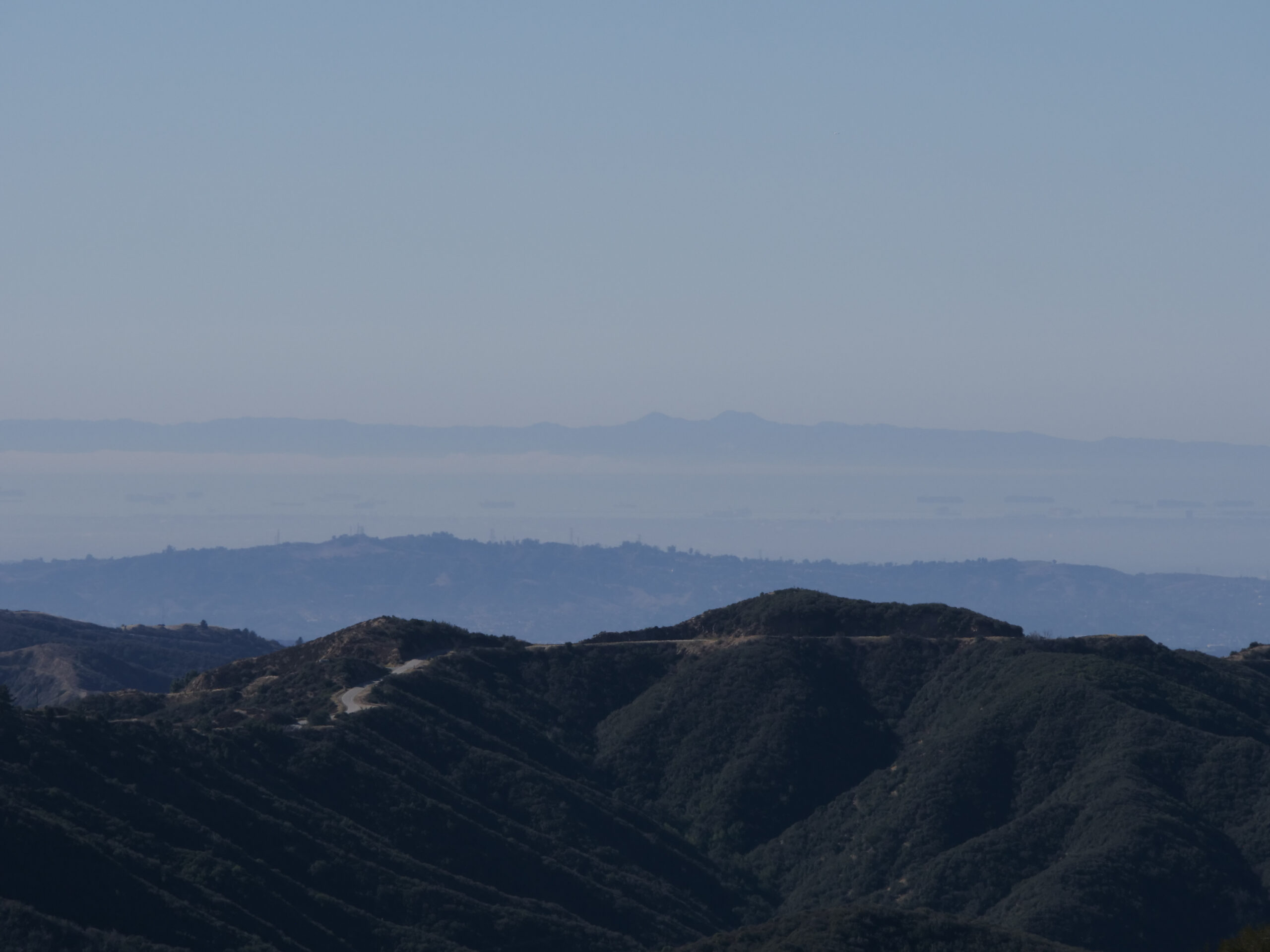
    Standard on the way up, but wonderful views once you arrive

  • Distance:

    6 miles out and back

  • Type:

    Dayhike

EXPLORE THE WORLD

The Earth Beneath Your Feet is your guide to hiking, backpacking,
and mountaineering in California and beyond.