
The standard route starting at Kennedy Meadows Campground is accessed by a 26 mile drive on a paved road from Hwy. 395. From Hwy. 395, turn west on Kennedy Meadows Road (aka Nine Mile Canyon Road) and drive 23.6 miles to a fork at the Kennedy Meadows General Store. Bear right here (continuing on Kennedy Meadows Road) and follow the road to its end another 2.7 miles to the Kennedy Meadows Campground.

Moderate - it's easy on the PCT - once you leave the PCT it's cross country, although route finding is not too tough. Once at the summit ridge we climbed the wrong summit initially before realizing it was further north.

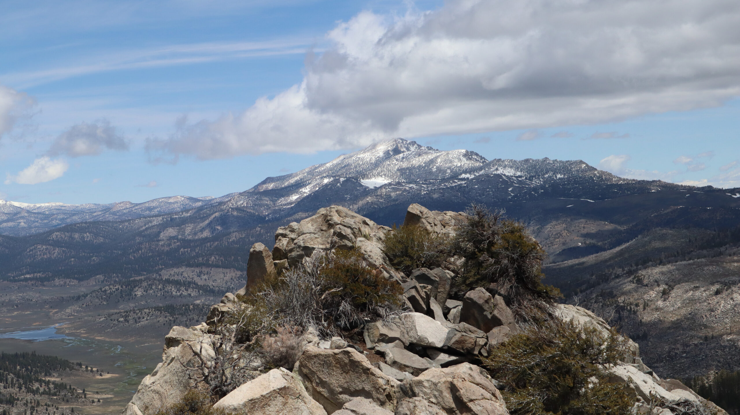
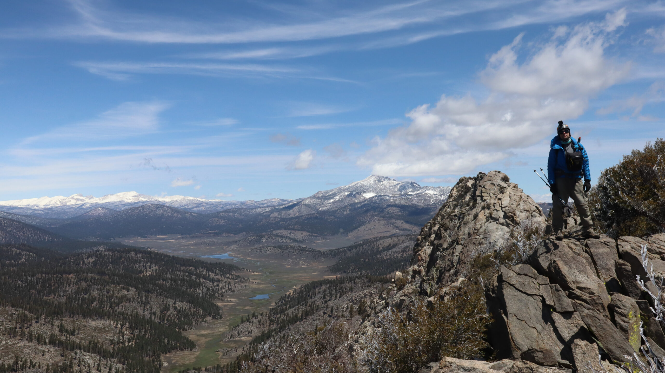
Great views of the Southern Sierra including Olancha Peak.

15 miles round trip

Dayhike

The Earth Beneath Your Feet is your guide to hiking, backpacking,
and mountaineering in California and beyond.