Glendora Mountain

Glendora Mountain

This was the second LPC peak of the day (Azusa Peak being the first) and was an easy stroll following a use trail to the top. I originally was going to walk up a ridge across the street from the Azusa Cross trailhead but I was in shorts and there was a bit too much brush to navigate. I ended up driving a couple miles north to a saddle and followed an easy ridge to the peak. There was still some shrubbery to walk through but manageable in shorts (luckily no yucca!) I would avoid doing this hike in the summer. Besides the heat and no shade, the location shouts rattlesnake. This would be a great sundown hike as it has a great view of the ocean, is easy to navigate, and is only 1 mile back to the trailhead. One big MUST - always check the status of Glendora Mountain Road prior to going - I struck out twice previously because I didn't check. http://dpw.lacounty.gov/roadclosures/
  • Trailhead:

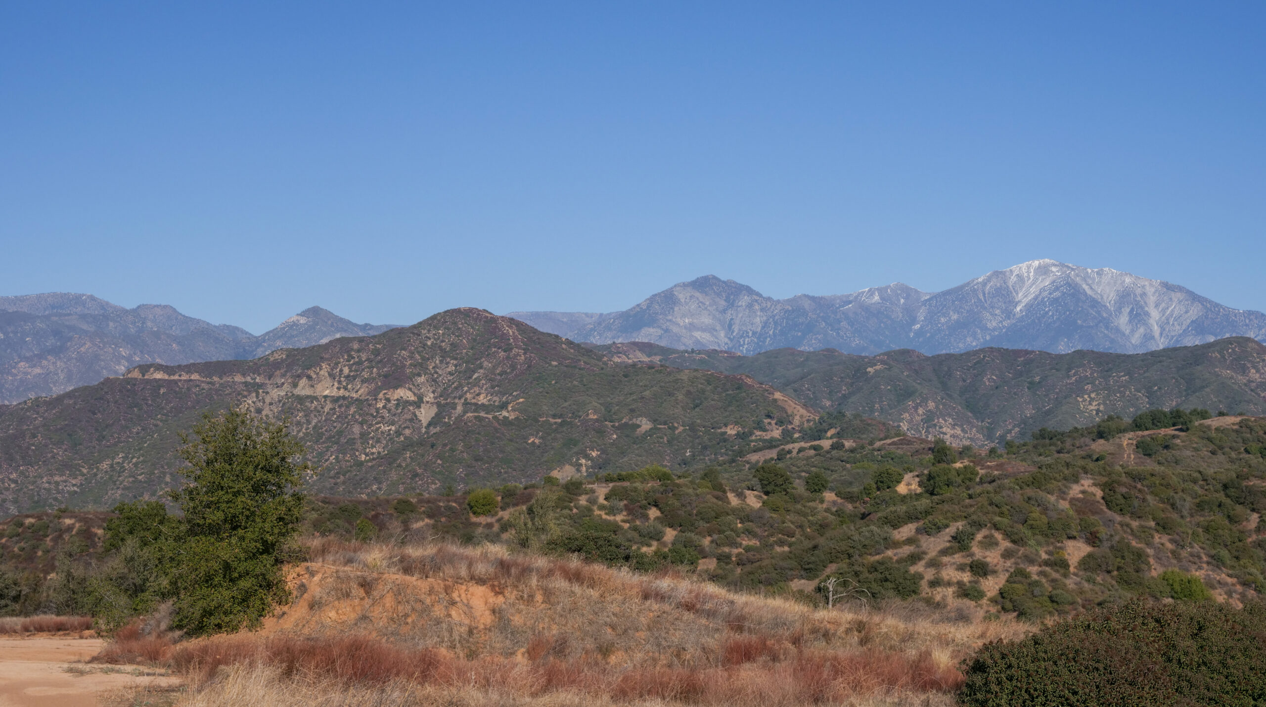
    Glendora Mountain Road - near Mile Marker 6.50 (34.199517240777645, -117.8280656357351)

  • Difficulty:

    Easy

  • Aesthetic Rating:

    Ho hum on the way up, nice 360 views at the top and fantastic views of San Gabriels on the way down

  • Distance:

    2 miles out and back

  • Type:

    Dayhike

EXPLORE THE WORLD

The Earth Beneath Your Feet is your guide to hiking, backpacking,
and mountaineering in California and beyond.