
On Pine Canyon Road at 34.739254, -118.655361, turn south onto a dirt road. Go just a few seconds to a parking area where you can pick up the Pacific Crest Trail. From Highway 138, go 2.2 miles on Ridge Route Rd. Turn left onto Pine Canyon Road and go 4.2 miles to the trailhead tunrout.

Easy grade up with lots of intermittent shade - even though it was 9 miles, my 6-year olds had no problem completing the hike with energy to spare.

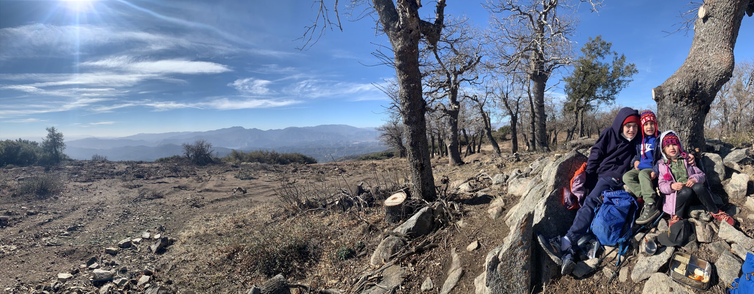
A pleasant surprise- the views of the Techachapis and the eastern end of the Antelope Valley were nice in the beginning. Then the trail meanders through oaks and pines before emerging on the wide ridge where the Los Padres National Forest comes into view.

9 miles round trip with 1,700 feet of elevation gain.

Dayhike


The Earth Beneath Your Feet is your guide to hiking, backpacking,
and mountaineering in California and beyond.