Mount Bliss

Mt. Bliss

Peak bag of Mt. Bliss in Angeles National Forest. On a cool day with low clouds and intermittent sprinkles (it rained heavily the day before). The cloud cover was welcome as there is no shade for the first 2.5 miles of this steep hike. Bummer on the summit though as I had no views.
  • Trailhead:

    Exit I-210 in Duarte on Mt. Olive Dr. drive North, turn right on Royal Oak Drive, left on Melcanyon Road, right on Opal Canyon to Brookridge. Park here to begin hiking.

  • Difficulty:

    Moderate - lots of elevation gain.

  • Aesthetic Rating:

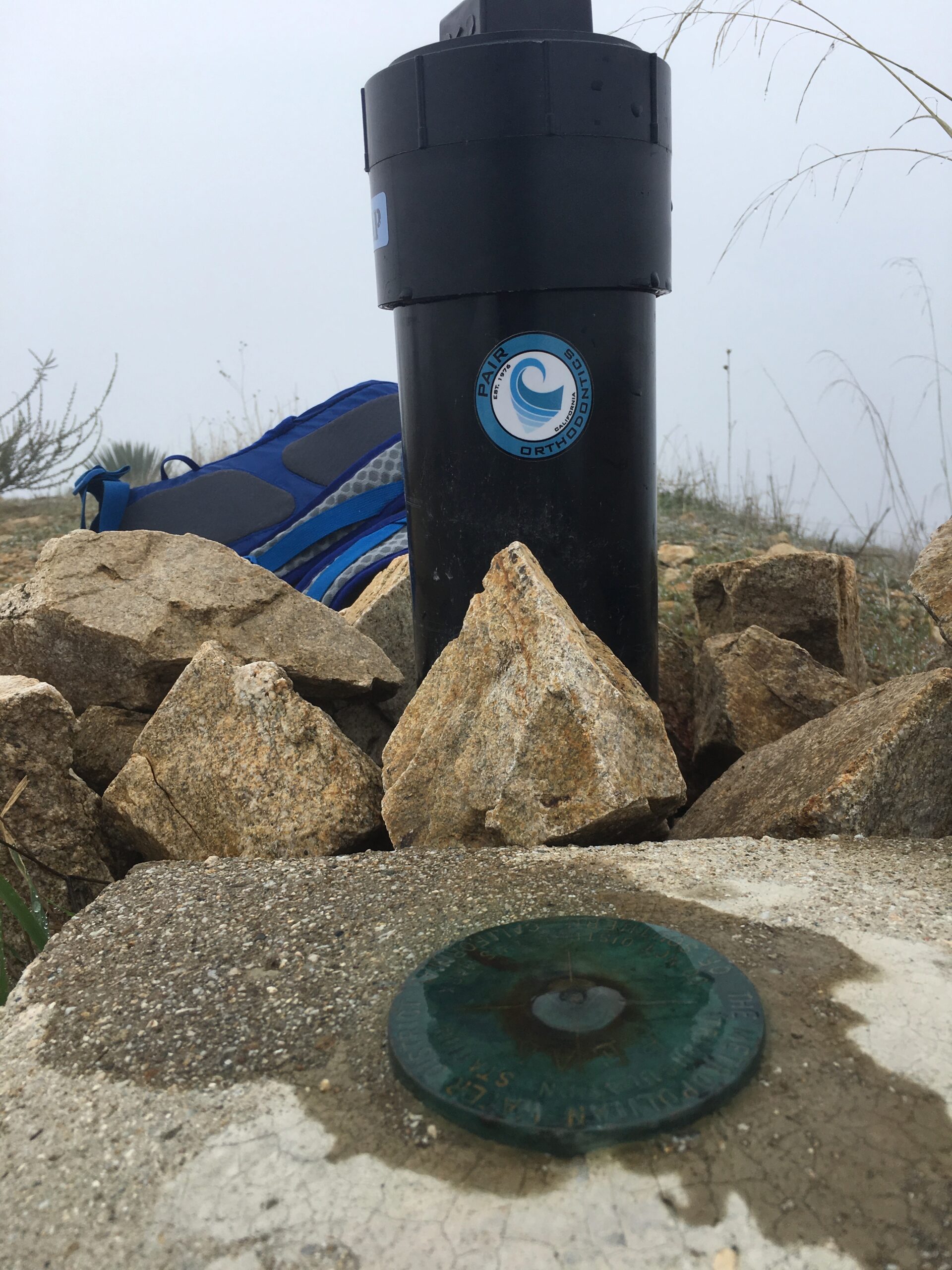
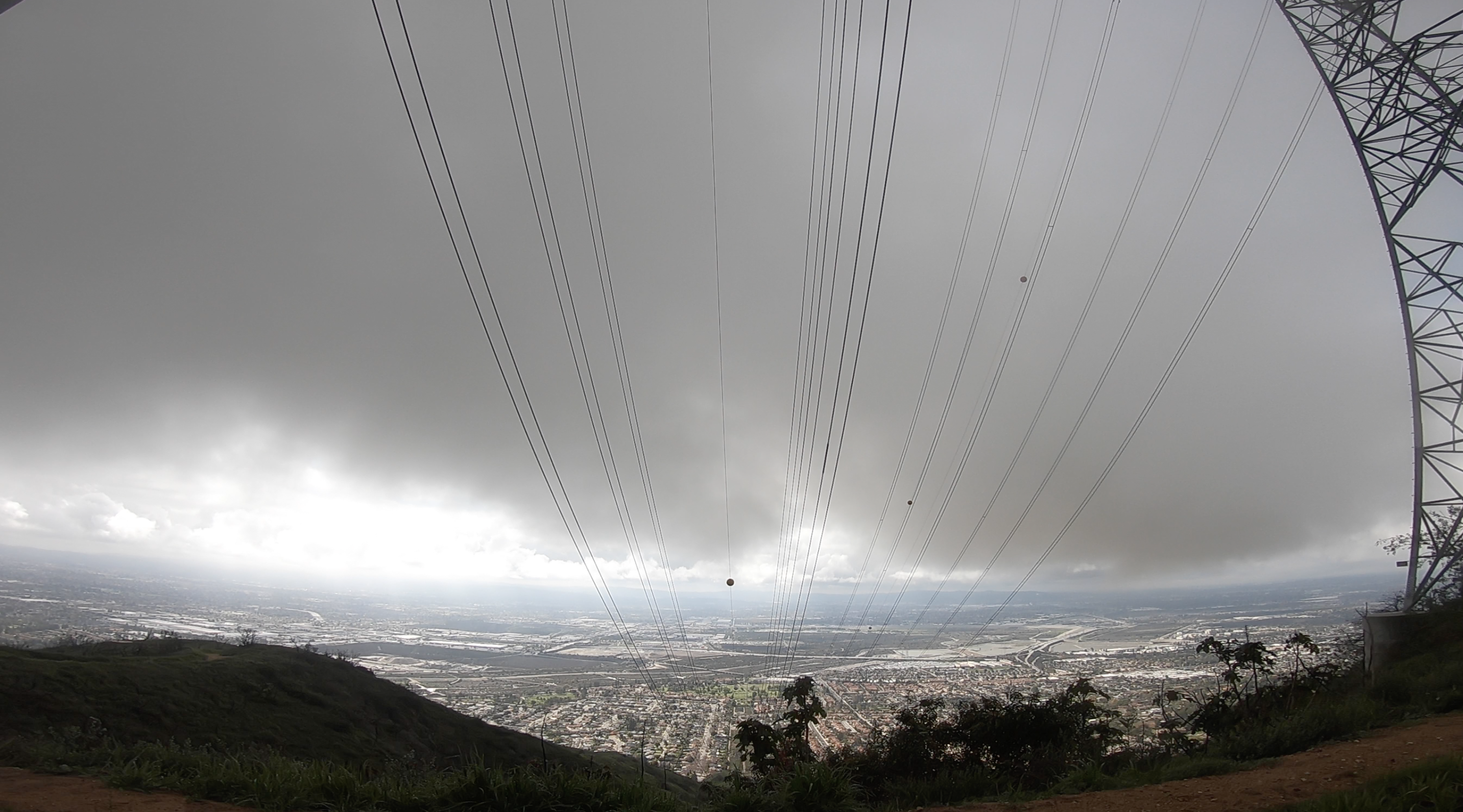
    Tough to tell with such low cloud cover.

  • Distance:

    10 miles round trip with 3,000 ft. elevation gain.

  • Type:

    Dayhike

EXPLORE THE WORLD

The Earth Beneath Your Feet is your guide to hiking, backpacking,
and mountaineering in California and beyond.