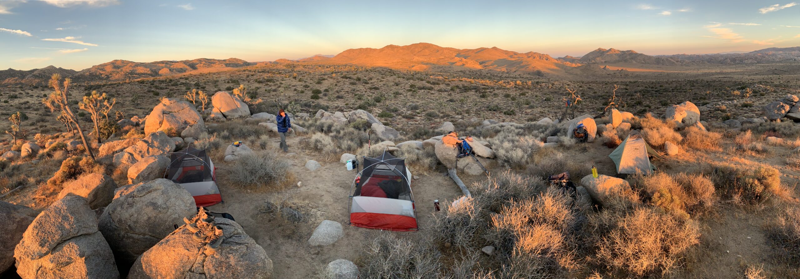
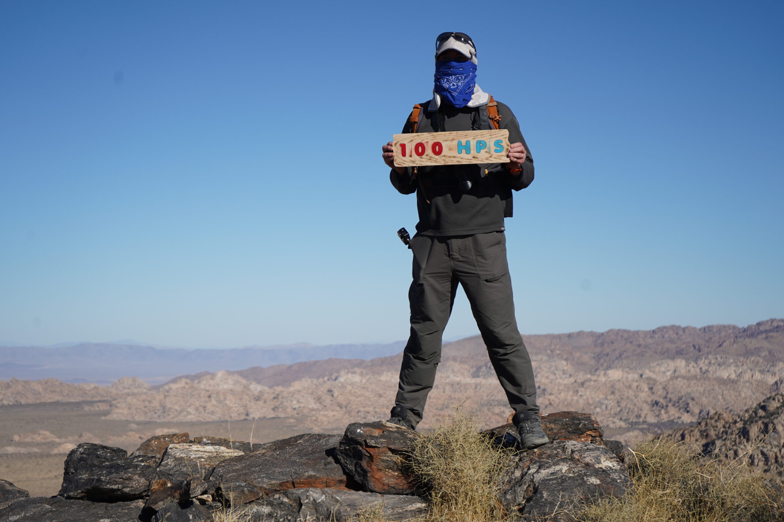
Overnight trip to bag Quail Mtn. and Minerva Hoyt (along with a few other minor bumps) in December of 2020 (even though the video says October - oops). Slept in our cars after arriving after dark at the Juniper Flats Backcountry Parking area on Keys View Rd. Hiked about 2.5 miles along the California Riding and Hiking Trail to our campsite. Dropped our packs, hung our food and headed further on the CA Riding & Hiking trail, until we peeled off at an obvious wash that headed for Quail Mtn. The wash ends at the start of a narrow canyon that you follow up into the mountain, before heading west steeply up to a ridge. Then follow the ridge to the summit. The high point, where you encounter parts of a plane from a crash in 1999, is not where you find the register. Head further east on the flat summit to a group of rocks where there is a benchmark and register. You can see Minerva Hoyt from the summit ad the route is fairly straightforward. This was John's 100th HPS so we had a proper whiskey celebration. TO head back to camp we dropped to the flats below Minerva Hoyt and headed cross country toward the CA Riding an Hiking Trail, bagging Kaye Benchmark along the way. After an unbelievable night under the stars and a sublime sunrise, we packed up and headed back, taking a shortcut over Joshua Tree Peak 4928. A total of 16.1 miles over 2 days.
-

Trailhead:
Juniper Flats Backcountry Parking area off Keys Road
-

Difficulty:
Easy navigation despite being cross country to the peak
-

Aesthetic Rating:
Sweeping Desert Views
-

Distance:
16.1 miles for the whole backpacking trip
-

Type:
Overnight in the video (but an easy dayhike as well)