Mount Pinos & Sawmill Mountain

Mt. Pinos & Sawmill Mtn.

Hike to the high point of Venture County, which is Mt. Pinos.  To reach the summit of Mt. Pinos is only 1.5 miles.  For the hike to Sawmill expect about 7 miles in total out-and-back hike.  From the summit of Mt. Pinos, walk about 0.2 mile west to the Condor Observation Site at a Chumash Wilderness sign, which marks the beginning of trail 21W03.  Proceed west on this trail. The beginning of this trail takes some puzzling meanders while descending 300' to the next saddle, but was carefully routed to bypass rare plants found only in the Mt. Pinos Summit Botanical Area.  From the saddle (8560+), continue west toward Sawmill on the trail, which ascends steeply at first and then traverses rolling slopes on the summit plateau just south of the peak.  At the point where the trail starts definitely downhill, leave the trail to the right (north) and follow the ridge west to the summit. There is a very large rock pile on the summit that contains the register.  Great hike for kids with no navigation issues.
  • Trailhead:

    From I-5 in Frazier Park, exit on Frazier Mountain Park Road and travel east for 7.3 miles. Continue onto Cuddy Valley Road, and keep left to remain on Cuddy Valley Road. Follow the now winding road uphill for another 8.5 miles until it dead ends at a large parking lot for the Mt. Pinos Nordic Area.

  • Difficulty:

    Easy

  • Aesthetic Rating:

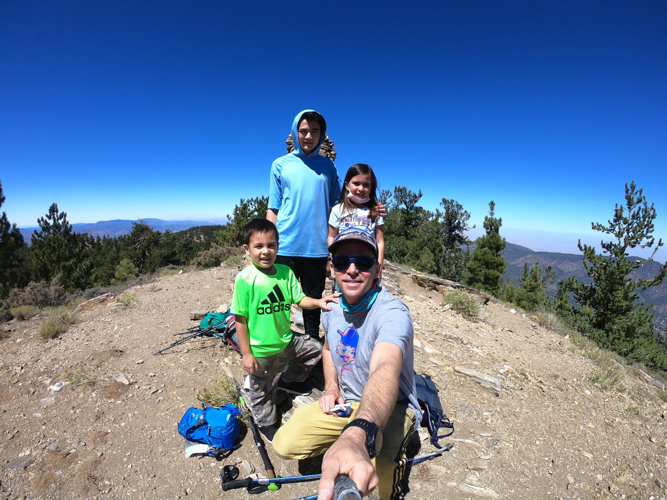
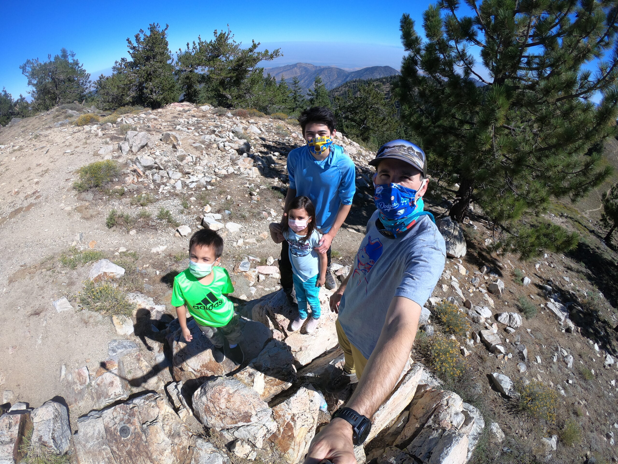
    Average view on the way up to Mt. Pinos, after which the vistas really open up to expansive mountain views.

  • Distance:

    About 7 miles for the round trip hike

  • Type:

    Dayhike

EXPLORE THE WORLD

The Earth Beneath Your Feet is your guide to hiking, backpacking,
and mountaineering in California and beyond.