
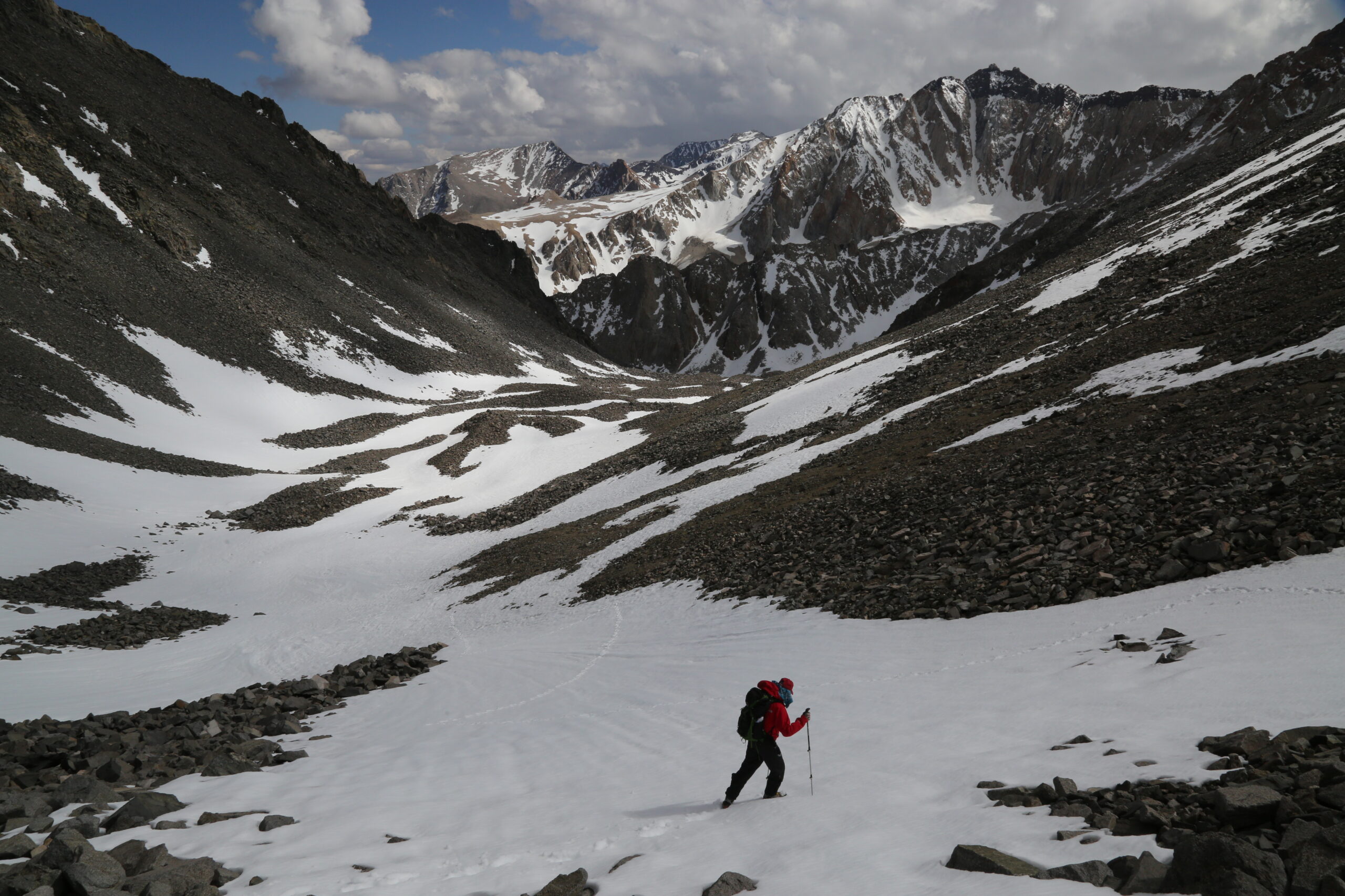
Getting to Red Lake Trailhead may be the most difficult part of climbing Mt. Tinemaha. You will need a high clearance 4WD vehicle. In addition, be prepared for scratched paint as the road is narrow and overgrown in some portions and the desert shrubs will add some nice pin-striping to your vehicle if you come into contact with them. The usual route to drive to the Red Lake trailhead is to turn west on Crocker Street out of Big Pine off Hwy. 395. The drive from Big Pine to the trailhead will take approximately one hour. Comprehensive directions can be found at: http://www.climber.org/DrivingDirections/redlake.html

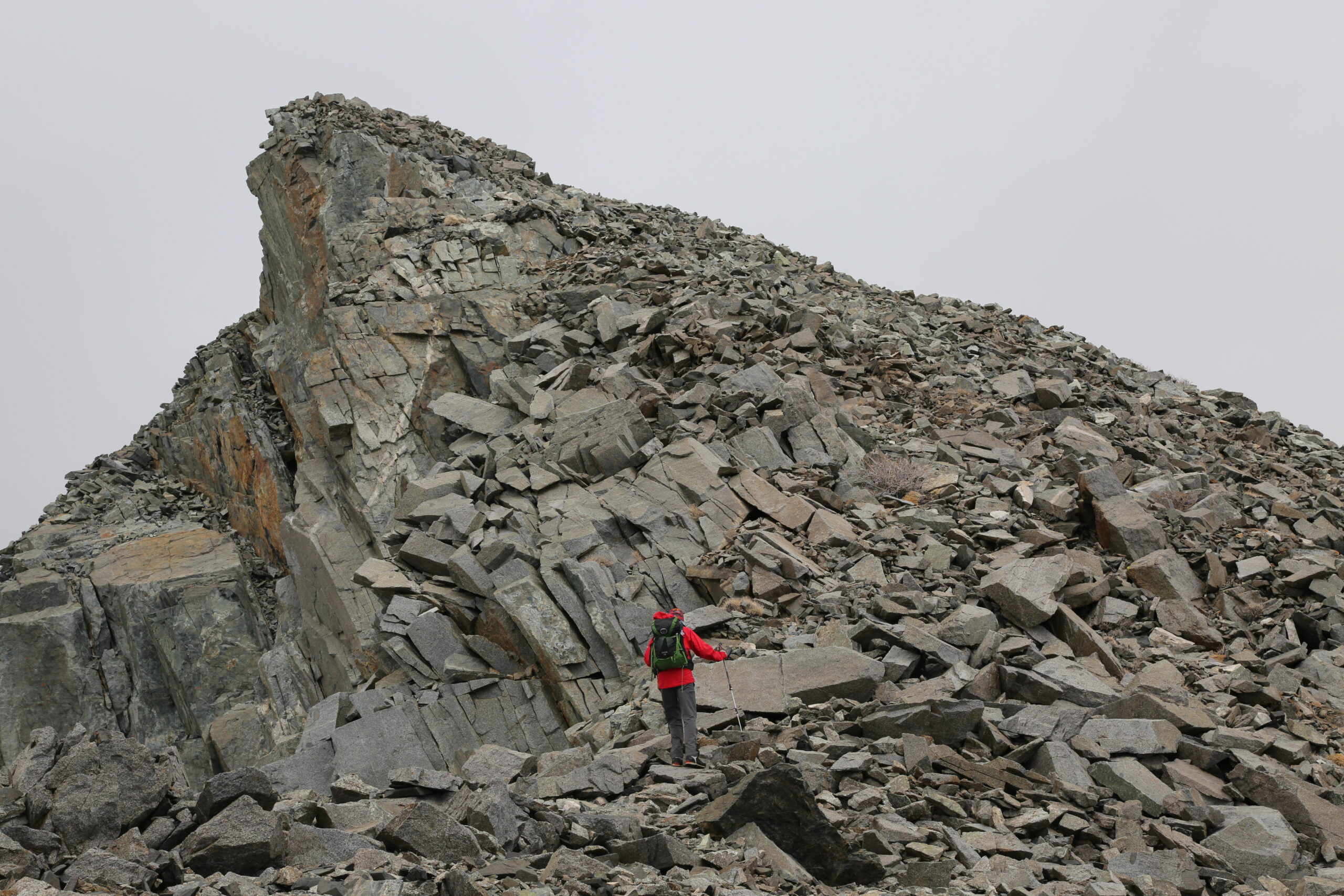
Straightforward - no more than Class II

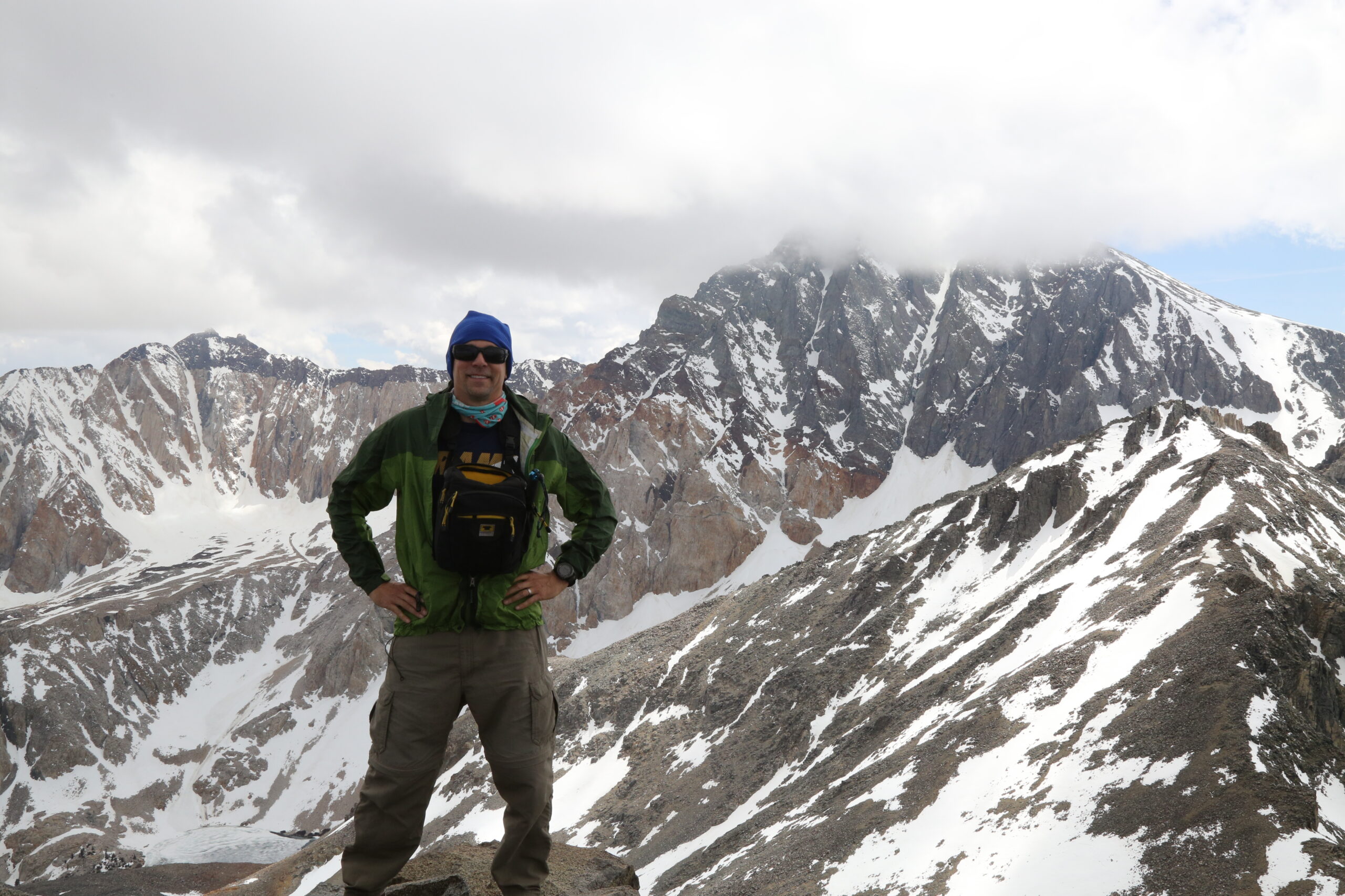
Great views of Split Mtn, Birch Mtn and the Owens Valley

3.6 miles to Red Lake and another 2.0 miles to the summit.

Overnight
The Earth Beneath Your Feet is your guide to hiking, backpacking,
and mountaineering in California and beyond.