Mt. Maculot Traverse

Traverse from the Rockies to Mt. Maculot

Guides are required to hike Mt. Maculot and can be hired at the registration area in the town of Cuenca. The traverse goes from the Rockies, to the summit and then down to the Grotto. Done in 4.5 hours which included waiting in line for photos at the top of the Rockies, 3 smoke breaks (for the guides) and a snack break at a trailside shop next to the Grotto. The mountain is 947 m (3,107 ft) tall and is also located adjacent to Taal Lake. Mount Maculot and its 700-metre (2,300 ft) high volcanic rock wall called The Rockies, is said to be part of Taal Caldera's crater rim.  I do not know how the eruption of Taal volcano on Volcano Island (which you can see in the video is in the middle of the lake) affected this hike.
  • Trailhead:

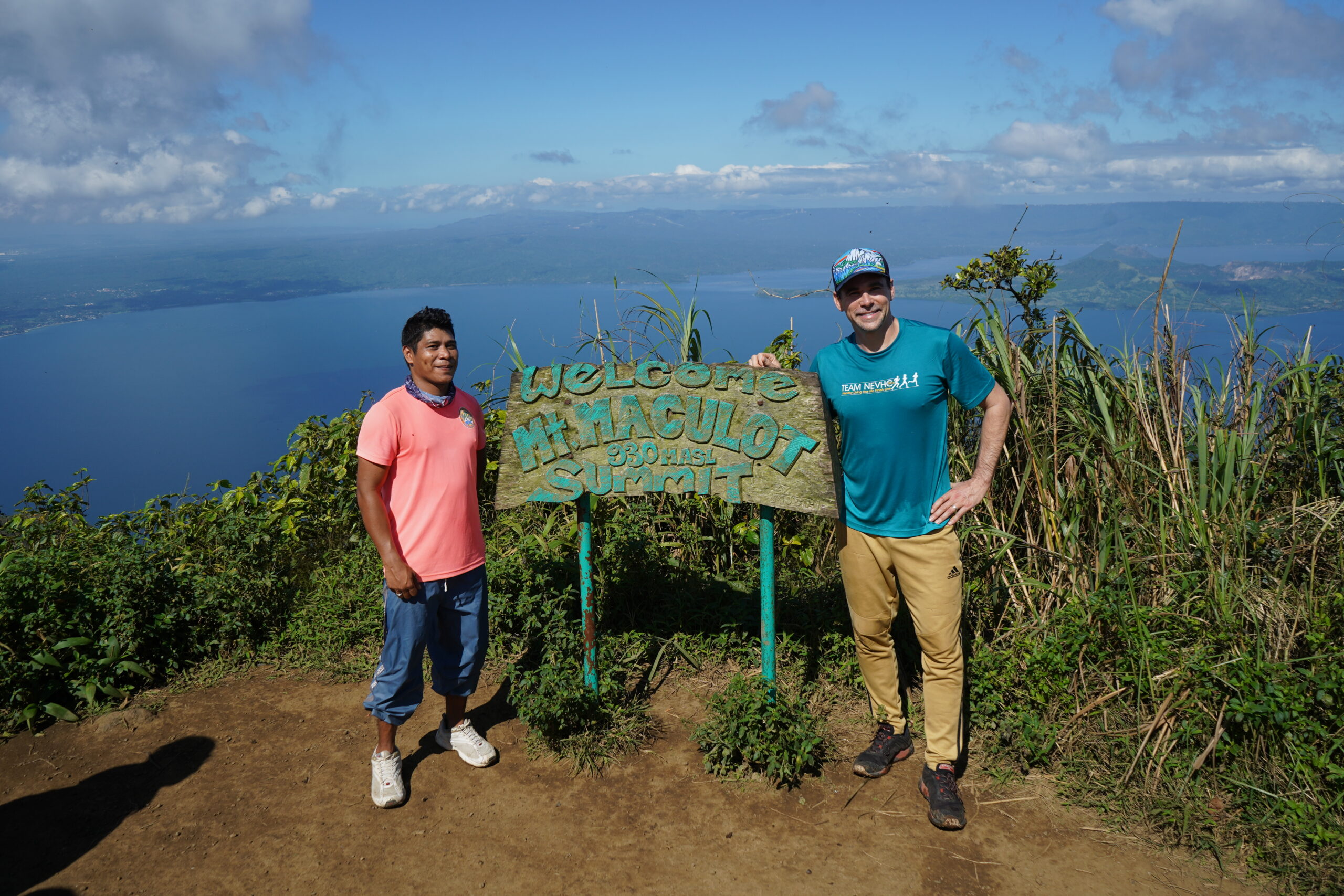
    Trailhead in the town of Cuenca at 13.907568, 121.042566. Ask anyone in town where the kiosk is so you can register and hire a guide.

  • Difficulty:

    The traverse is moderate with some fun use of fixed ropes to help descend some slippery slopes

  • Aesthetic Rating:

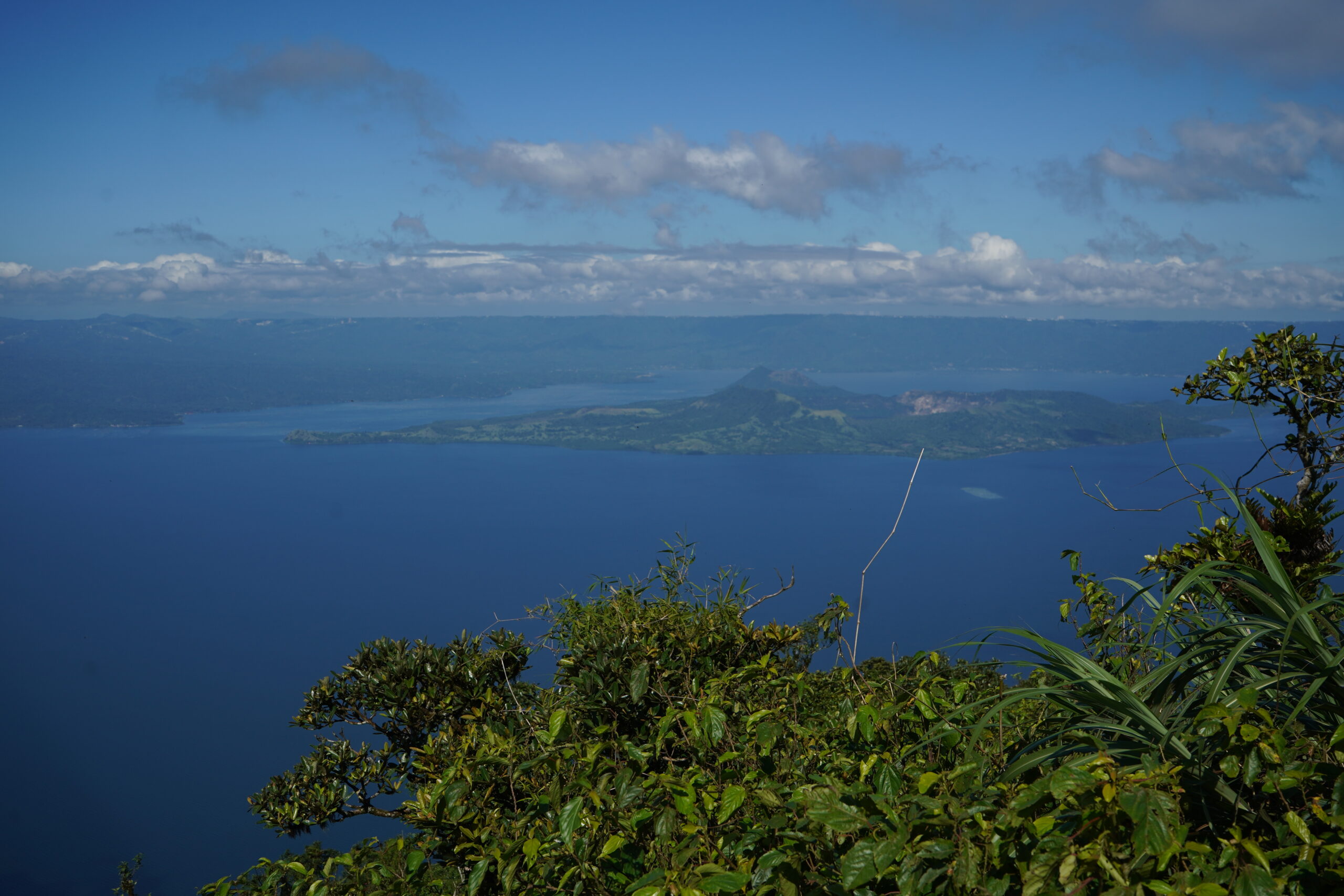
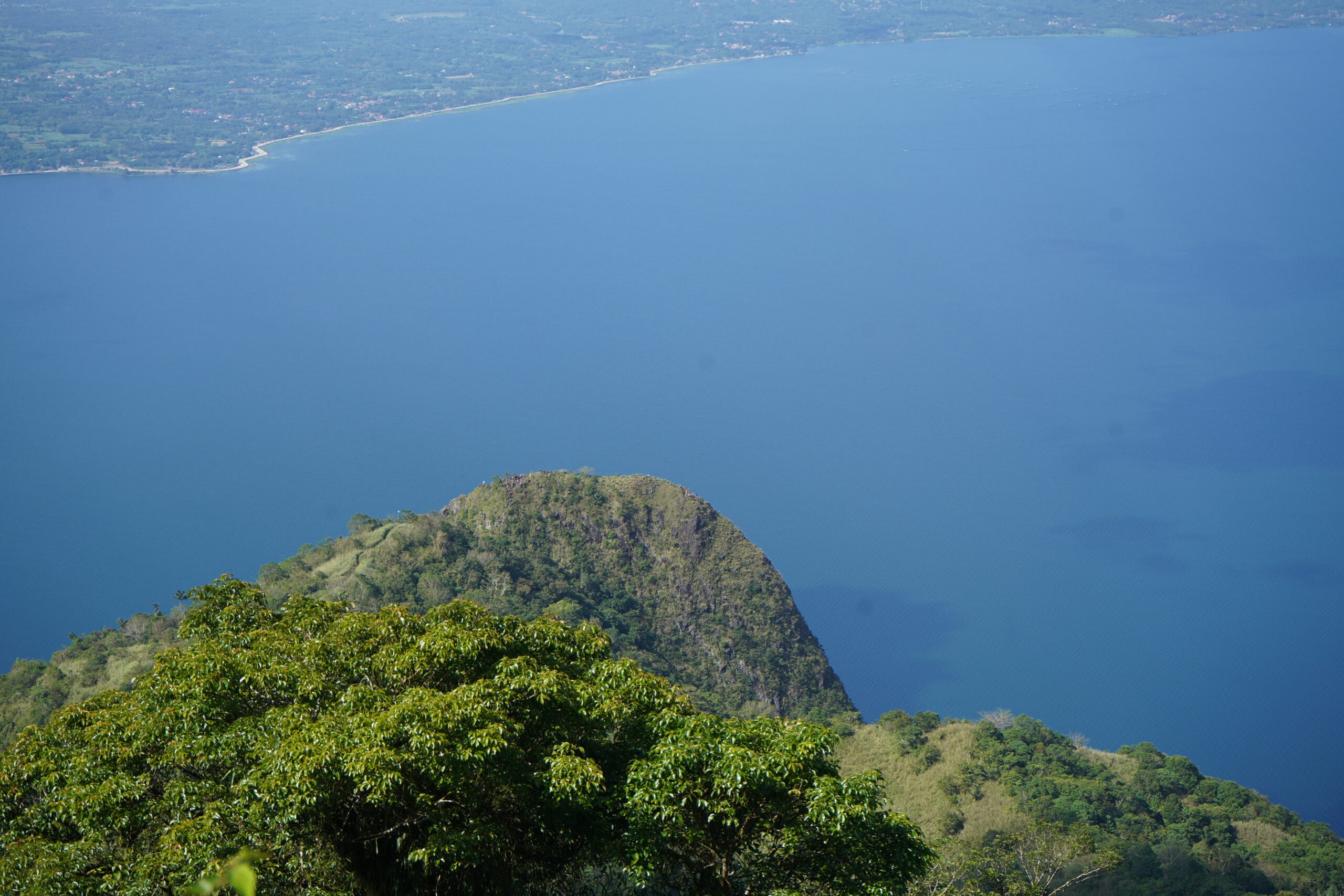
    Amazing views of Taal volcano

  • Distance:

    See specific breakdown at http://www.pinoymountaineer.com/2007/08/mt-maculot-685.html

  • Type:

    Dayhike

EXPLORE THE WORLD

The Earth Beneath Your Feet is your guide to hiking, backpacking,
and mountaineering in California and beyond.