Mt. Makiling

To the Summit of Mt. Makiling

Mount Makiling, or Mount Maquiling, is a dormant volcano located on the border of Laguna province and Batangas on the island of Luzon, Philippines. The mountain rises to an elevation of 1,090 m above mean sea level and is the highest feature of the Laguna Volcanic Field. The climb starts at the University of the Philippines, Los Banos. It's 18 km round trip and took us 3h10min to the summit and a few hours back down. Had favorable windy conditions to keep it "cool" and the trail is shady for the vast majority.  You must check in at the ranger station located in the University where you can hire a guide.  Wear long pants and long socks - while the first 1/2 of the "trail" is an old paved road, the other 1/2 is slippery and lined with leeches waiting to get ahold of you.  Only a few views because the foliage is so dense (but it is nice to have shade the majority of the hike).
  • Trailhead:

    In University of Philippines, Los Banos at the College of Forestry. (14.151093, 121.233702) There is a kiosk at the start of the trail (which is a paved road for 4.3 miles) where you can hire a guide, which is required, and pay a nominal registration fee.

  • Difficulty:

    Moderate with slippery conditions near the top (and lots of leeches)

  • Aesthetic Rating:

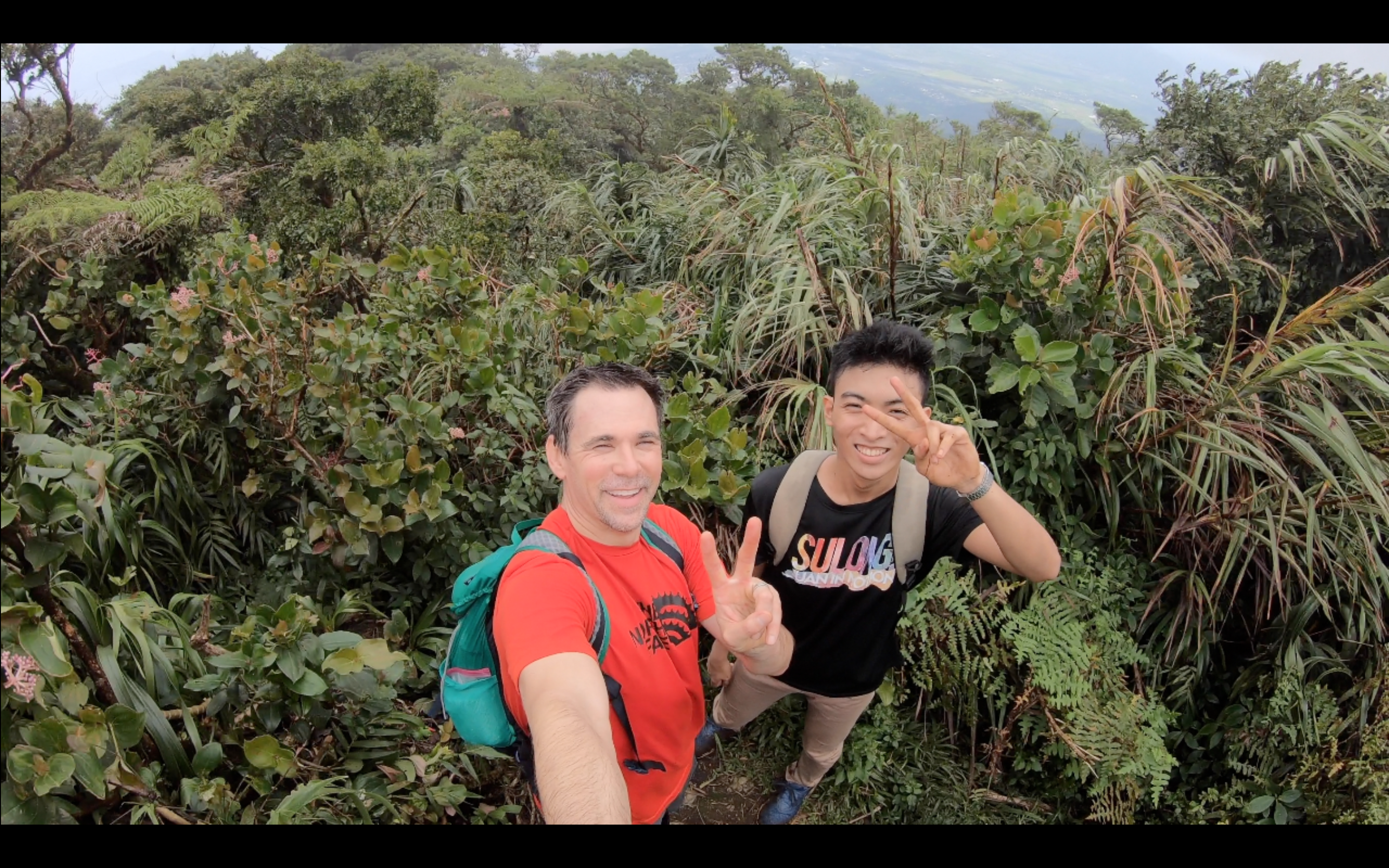
    Really no views until the very top and then only mediocre

  • Distance:

    18 km round trip

  • Type:

    Dayhike

EXPLORE THE WORLD

The Earth Beneath Your Feet is your guide to hiking, backpacking,
and mountaineering in California and beyond.