
Shepherd's Pass Trailhead - Highway 395 to Independence. Go West on Market Street (towards the Sierra Nevada). Market Street becomes Onion Valley Road once you leave Independence. After 4.4 miles, turn left (south) on Foothill Road. Road forks after about 1 mile, follow the right fork. You will see a sign saying "Shepherd's Pass Trailhead". After about 2 more miles, you reach another fork in the road - go right. Two more forks in the road are reached and you will go right at each one and you'll reach the trailhead for Shepherd's Pass.

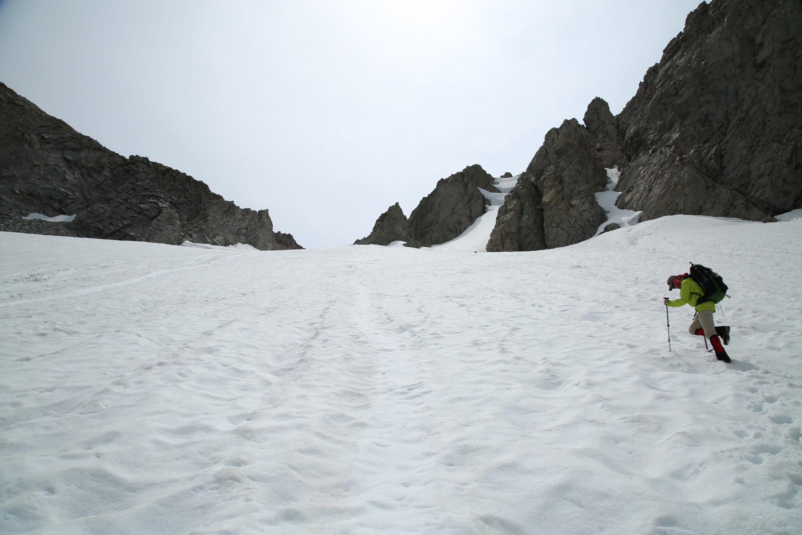
Tough hike with some Class IV fun in the chimney section just below the summit ridge. The snow chute below the chimney was a slog, but much better than I imagine it being without the snow.

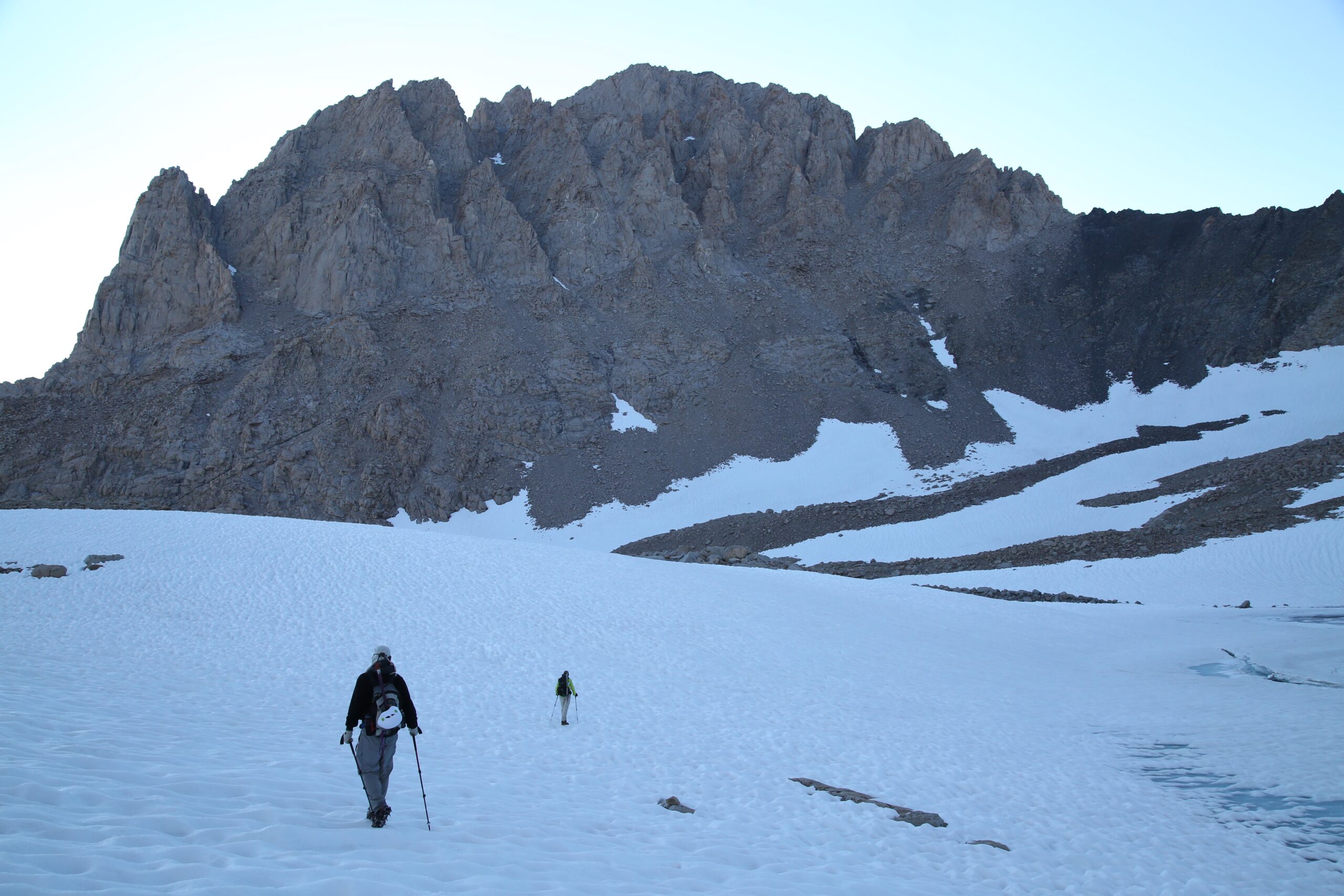
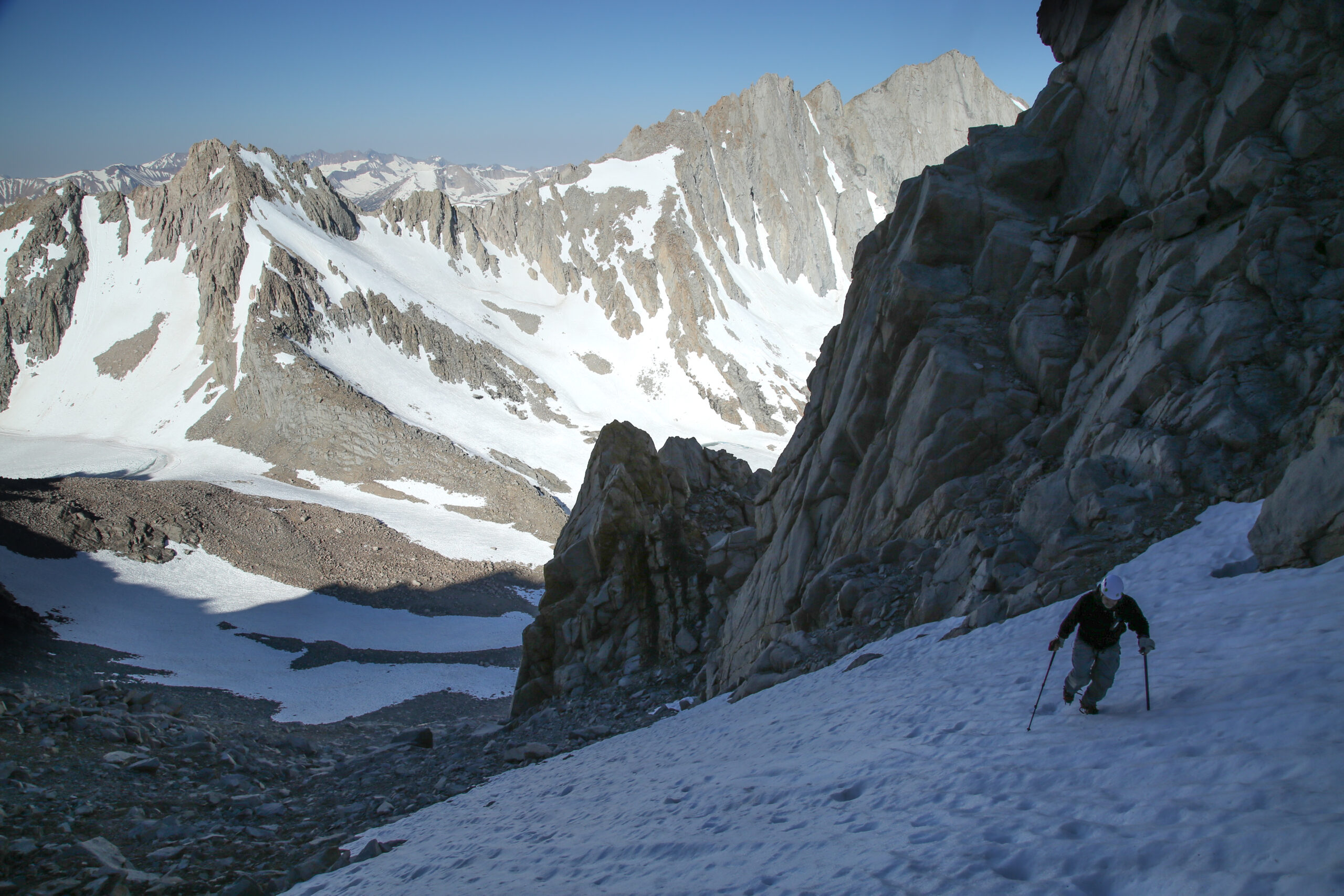
Just unbelieveable views from Owens Valley to deep into the Sierra.

About 32 miles round trip when combined with Tyndall

Overnight
The Earth Beneath Your Feet is your guide to hiking, backpacking,
and mountaineering in California and beyond.