Owens Peak

Owens Peak

From the parking area (5440'), hike past the barricade along the old road, which eventually becomes a trail.  Continue on this trail up the canyon to a small clearing at about 6100'. The canyon forks here.  Follow the excellent use trail up the right canyon to about 7000' where the trail becomes quite steep, then starts through a field of dark boulders.  Follow ducks up through these boulders. (If you come to a field of white boulders, you are too far to the right.)  Continue on the use trail up toward the summit passing a steep rock friction slope at about 7800' on the way.  Some call this Class III, but I did not find it to be intimidating at all.  Emerge onto the summit ridge and continue on a good but steep trail to the summit.
  • Trailhead:

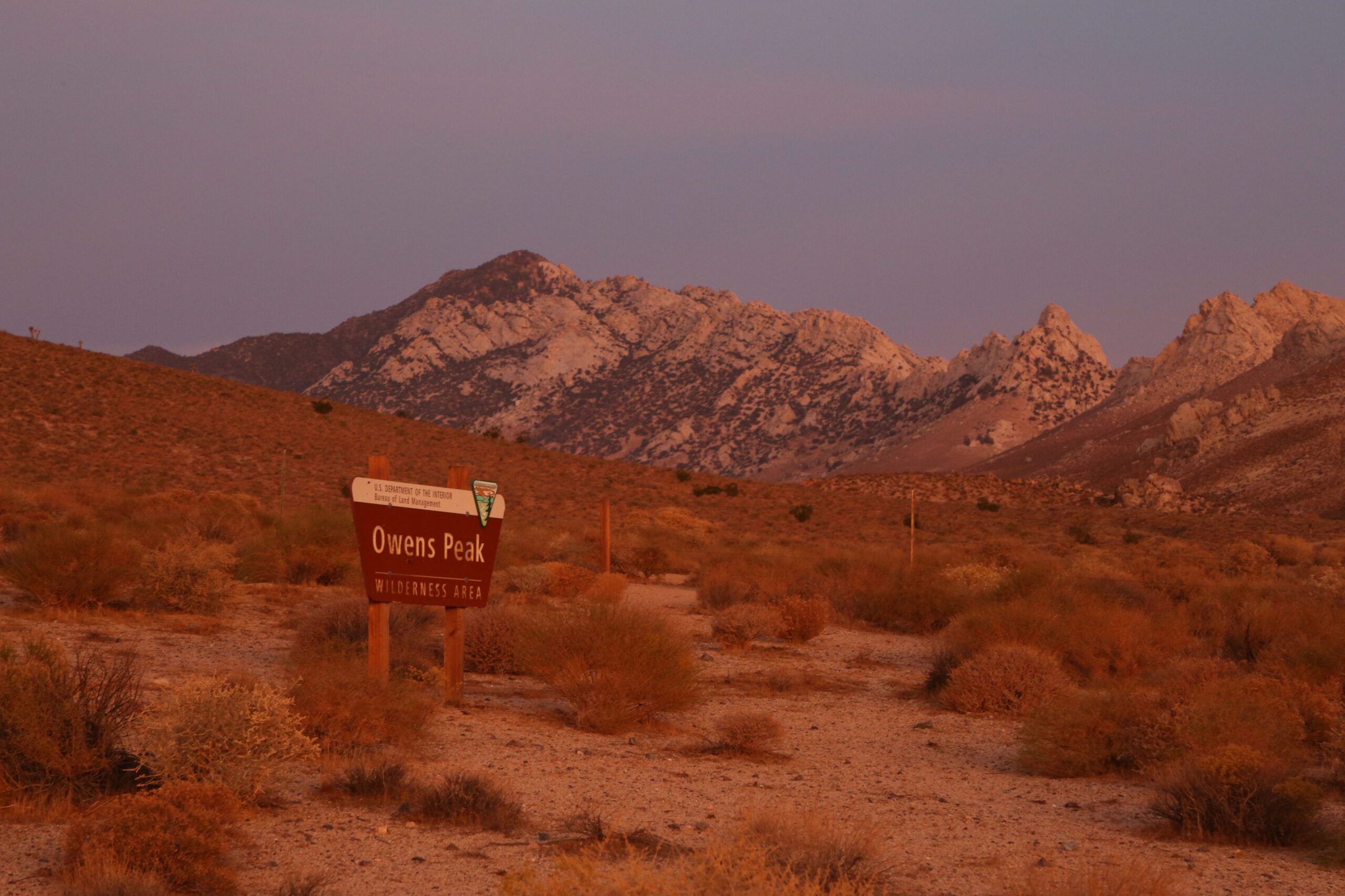
    Leave Hwy 14 0.4 miles north of Indian Wells. Follow directions from http://www.hundredpeaks.org/guides/01h.htm. Or alternatively, the trailhead is at 35.715440, -117.974565.

  • Difficulty:

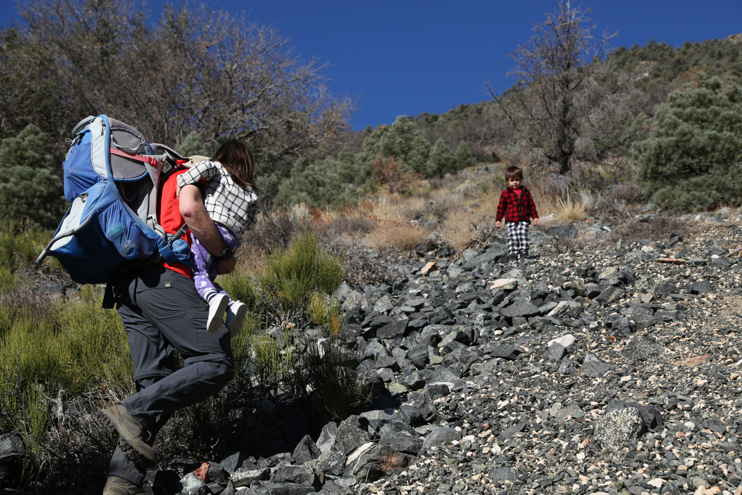
    Moderate with need to negotiate fallen trees and steeper loose sand sections.

  • Aesthetic Rating:

    The trail is pretty unremarkable until the summit where you get greta views of the Southern Sierra and Owens Valley.

  • Distance:

    7 miles round trip and 3,200 ft. of elevation gain.

  • Type:

    Dayhike

EXPLORE THE WORLD

The Earth Beneath Your Feet is your guide to hiking, backpacking,
and mountaineering in California and beyond.