Sawtooth Peak South

Sawtooth Peak South

From the PCT junction on Canebrake Road, which is 1/4-mile south of Chimney Peak campground.  From the trailhead at Canebrake Road follow the PCT more or less east as it contours around a large, unnamed subsidiary peak, and then heads up the canyon above Lamont Meadow. The trail gains about 750 feet in a little over three miles until reaching a saddle on the crest. Here it turns south towards Spanish Needle and Owens Peak, but your route leaves the gentle trail to head straight up the ridge line directly north of the saddle. Several use trails meander up the slope. None is better than the others, so pick the one that seems to keep you away from scree and dense brush.  After about 400 feet of steep climbing the ridge kicks back and turns to the north east. Staying more or less on the north side of the ridge proper seems to offer the best options as far as staying out of dense pine and oak goes.
  • Trailhead:

    Canebrake Road is graded dirt that is easy passable by 2wd passenger cars, but don't expect to go much more than 35 mph, and usually slower. The PCT crosses Canebrake Road 0.2 miles south of Chimney Peak Campground. Other than a small sign on the west side of the road indicating the distance the the campground, there isn't anything to mark the trail crossing. There are two spots to pull completely off the road, but other than that, no obvious parking. If you're there in the off season and nobody else is around, you can probably get away with parking on the side of the road, just pull over as far as you can so you don't block traffic.

  • Difficulty:

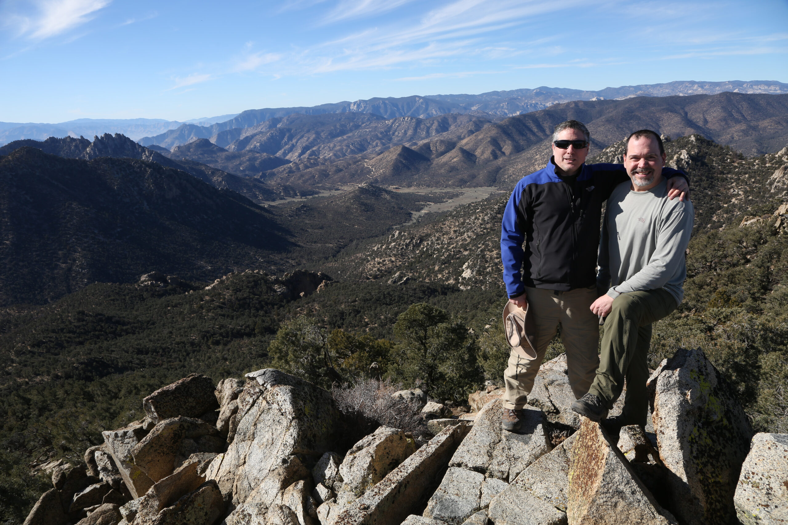
    Easy for an SPS peak

  • Aesthetic Rating:

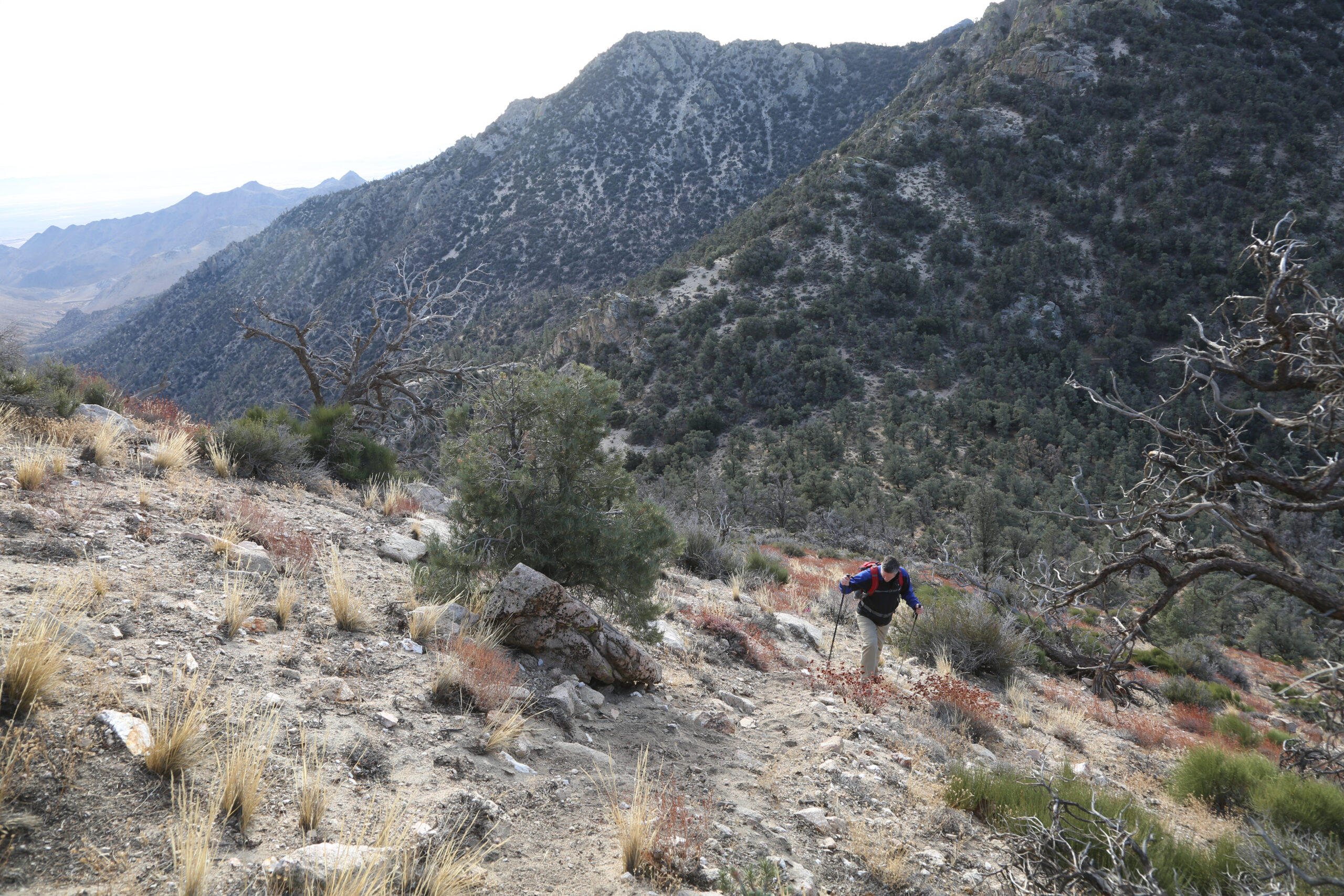
    Nice views of Owens Valley and the Southern Sierra.

  • Distance:

    10 miles round trip and 2,500 ft. of elevation gain.

  • Type:

    Dayhike

EXPLORE THE WORLD

The Earth Beneath Your Feet is your guide to hiking, backpacking,
and mountaineering in California and beyond.