Sewart Mountain

Sewart Mountain & McDonald Mountain

From the parking area (6500'), pass the gate and hike east on the old road for 1 mile to the obvious high point of the road.  The rocky summit outcrop that contains the register is located about 20 yards to the left (north) of the road at this point.
  • Trailhead:

    Park at 34.638380, -118.919924, which is the end of the road.
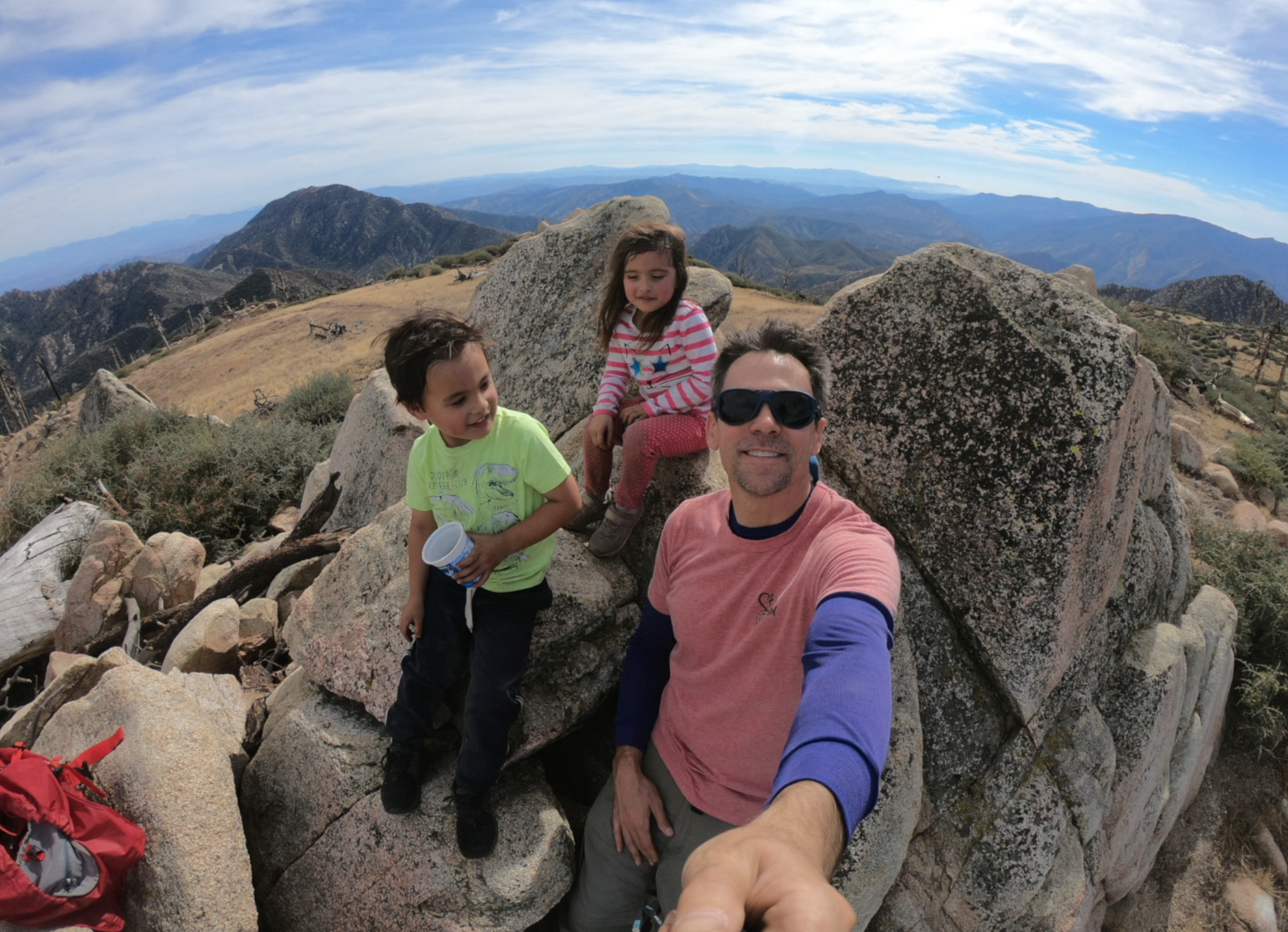
  • Difficulty:

    Easy

  • Aesthetic Rating:

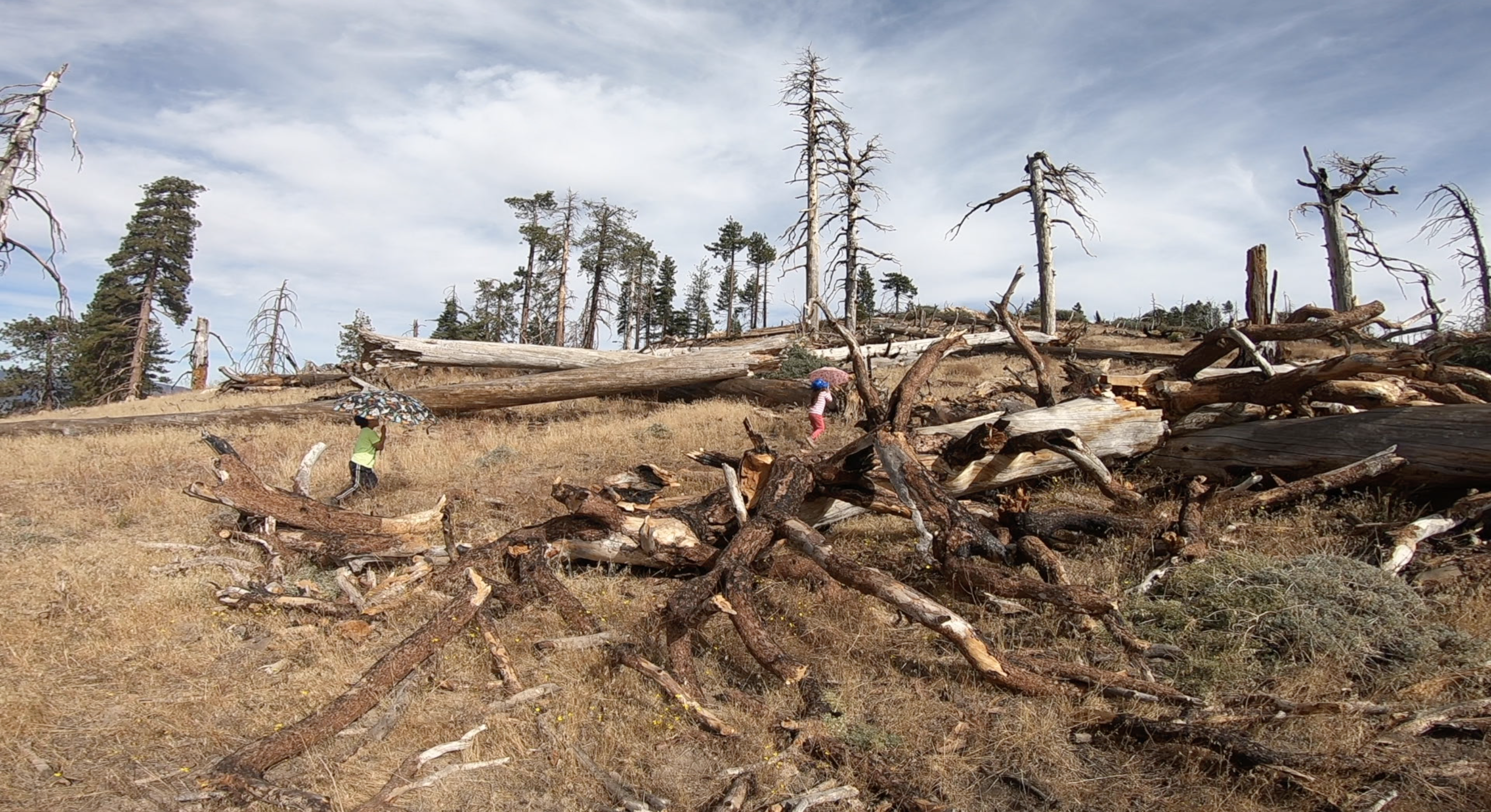
    Mostly hiking through an open burnt forest landscape with lots of downed trees.

  • Distance:

    2 miles round trip with 500 ft. of elevation gain

  • Type:

    Dayhike

EXPLORE THE WORLD

The Earth Beneath Your Feet is your guide to hiking, backpacking,
and mountaineering in California and beyond.