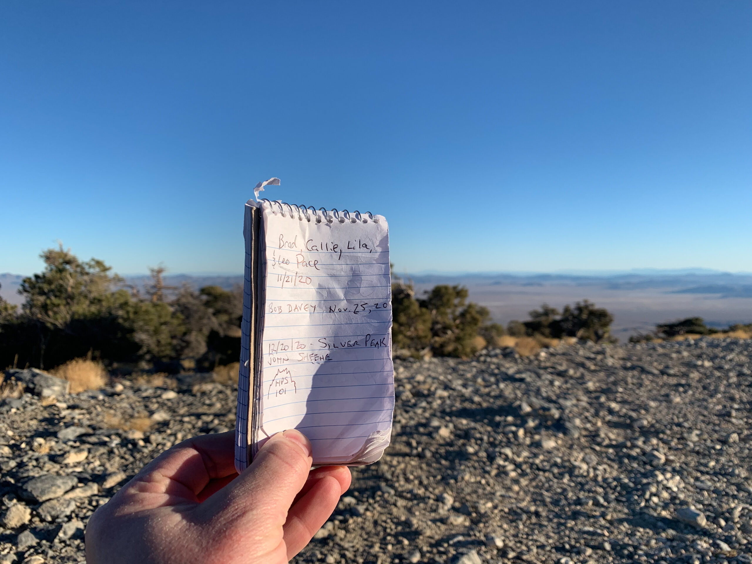
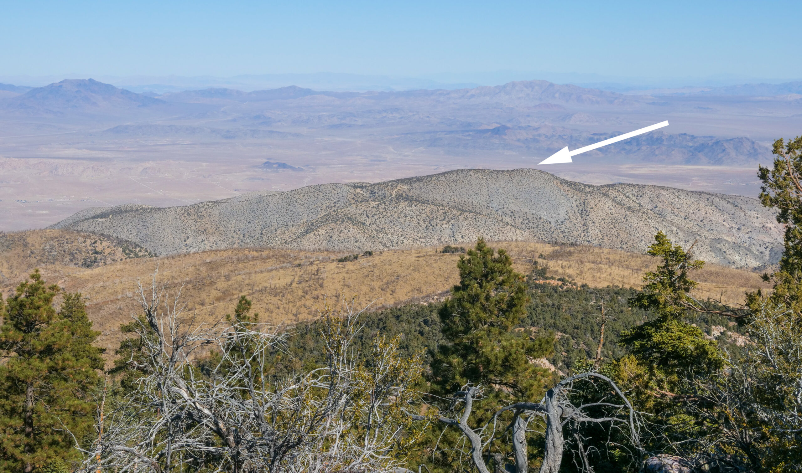
The first of a tri-HPS peak Sunday in the Big Bear area. I braved the .3 mile drive on the rough road to the trailhead. Be warned, 2WD can make it...barely. On this hike I followed a GPS track downloaded from Peakbagger and went off course a couple times before re-routing. It's a relatively short hike but is steep as you follow a wash/use trail for a good portion while ascending to a saddle. There is an abandoned cable from mining operations that you can use as a general guide for the path (emphasis on "general"). On the way up you'll encounter a mine entry, which is no larger than a doorway. I went in about 30 feet before I got the willies. Back to the hike...upon reaching the saddle, it's a straightforward walk to the peak where you'll find, what I believe is the airshaft for the former mine (where the peak register is located!). You can't see Big Bear from this vantage point but you do see the Lucerne Valley to the north and plenty of peaks to the south including Sugarloaf, Anderson, and the next summit for the day...Gold Mountain.
-

Trailhead:
Silver Peak Trailhead - 3N62 by mile marker 62 on the 18. Either park on the side of the 18 or drive in (.3 miles) with a high clearance vehicle (34.32570543726049, -116.81552219489677)
-

Difficulty:
Moderate (primarily for obstacles/steepness/yucca)
-

Aesthetic Rating:
Cool. Remnants of mining operations, an actual mine, and great views of Big Bear and the San Bernardino Mountains
-

Distance:
3.4 miles out and back
-

Type:
Dayhike